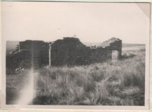
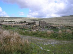
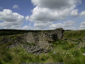
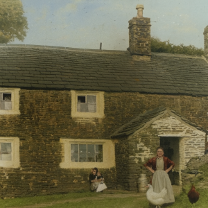
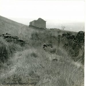
Anglezarke Moor is scattered with the remains of old farmsteads, their stones slowly sinking into the landscape and fading from the maps as surely as they’ve faded from memory. This is the largest section of the site, and it continues to grow as new discoveries are added.
Most of these farms were abandoned in the early 1900s, following an Act of Parliament in 1902. Within just three years, between 1902 and 1905, the Liverpool Corporation acquired the land and cleared every property within the water catchment area. What had once been working homes and barns were deliberately destroyed, leaving only ruins behind.
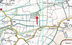
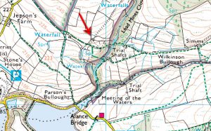
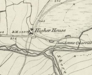
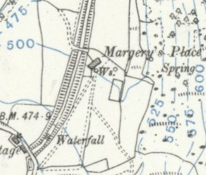
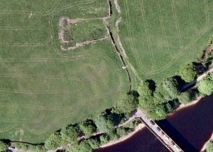
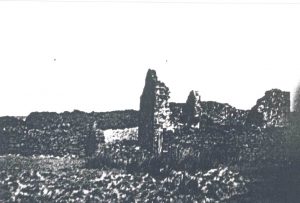
Thanks to painstaking research by Richard Skelton, we now have a detailed list of these lost places, drawn from old maps and records. Names such as Abbots, Alance, Bradley’s, Brown Hill Farm, Drinkwaters, Hempshaws, Hollinshead Hall, Old Rachel’s, and Wilkinson Bullough still echo across the moor, even though many of the buildings have long since crumbled. Some ruins were already rubble when the earliest maps were drawn, and others survive only in fragments today.
This section of the site is constantly being updated as more information comes to light, ensuring that the stories of these forgotten farms are not lost to time.