Anglezarke is a catchment area for United Utilities, with a long history of water use across its wooded valleys and cloughs. The moors are defined by their rivers, brooks, and wells, each carrying both natural and cultural significance.
The reservoirs are already well documented elsewhere, so this section focuses on the rivers and streams that shape the landscape.
River Yarrow
The principal river of the moors is the Yarrow, though its tributaries are of similar size. The name has deep roots: “Yarrow was Yarwe in 1530, and it is a common name for streams over Europe. A corruption of the Celtic garw, it means rough, and features in the names of the larger rivers, the Garry, the Yare, and even the French Garonne.”
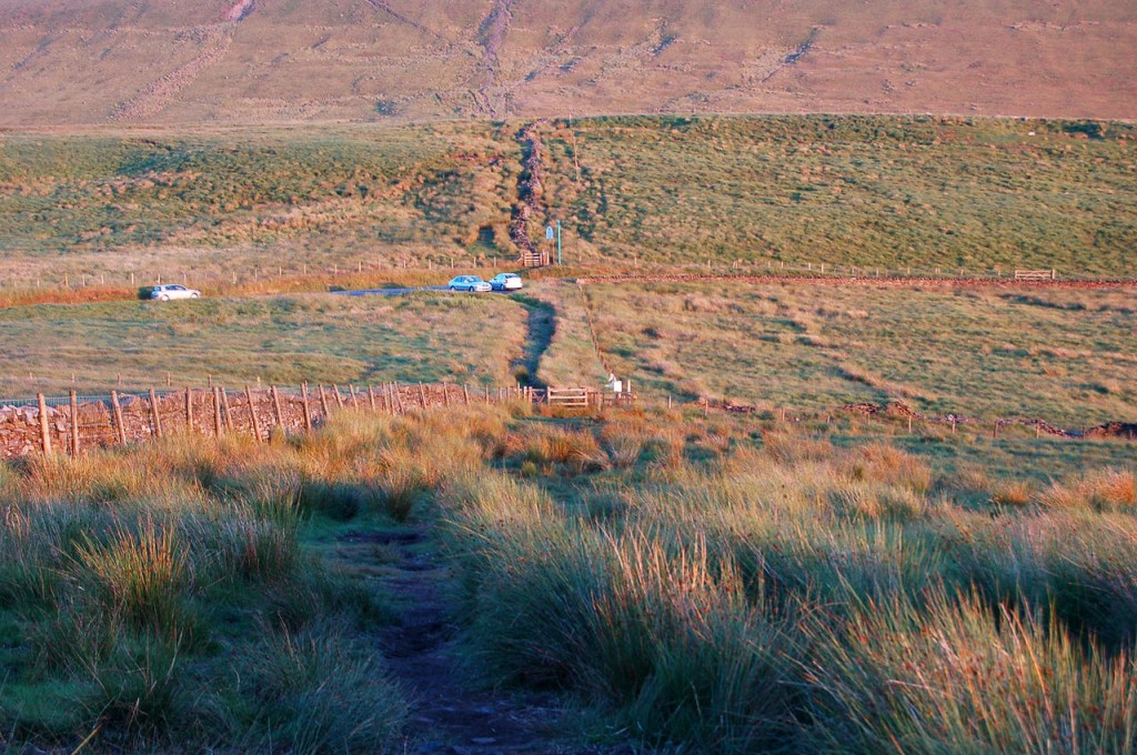
The source of the River Yarrow lies on the Chorley–Blackburn and Darwen boundary, between Rivington and The Black Dog at Belmont. It is the easiest river to trace: “Park at Will Narr and the source of the river is at the first gate heading North. The source can be beneath the gate, or some distance to the East or West depending on the water levels at the time.”
An unmarked path follows the Yarrow downhill through a valley, bridge, and waterfall, where it meets a smaller leg from Hempshaw’s ruins. Here the Yarrow marks the CROW / Access Land boundary, joining Green Withins Brook near Simms before flowing on to Limestone Brook at Lead Mines Clough.
Across the moors, the Yarrow forms the boundary line with Rivington. Flowing through Chorley borough, it has had a chequered history, “from pollution caused by the effluent from textile mills up to the late 1980s.”
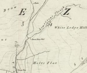
Green Withins Brook
Green Withins Brook begins along Redmond’s Edge near Standing Stones Hill. “There is a route, partly marked and partly unmarked, where you can trace the route of Green Withins Brook from source to confluence. This is easiest accessed by parking at Will Narr and walking along the edge to the drop‑off where Spitlers and Redmond’s Edge meet, then following the sheep‑track westwards.”
Along its course are waterfalls and wells, and a second source in the woodland that “looks far more impressive on the maps than its virtual non‑existence in the real world.” Holts Flat is a denser woodland along the brook’s path.
Dean Brook
Dean Brook flows in from Cote Slack near Moses Cocker’s Farm, running through Dean Wood. “Dean is from the Anglo‑Saxon denu, meaning a deep, wooded valley, which is certainly apt.”
Black Brook
Black Brook rises from Great Hill, once known as Grange Water. The gorge it cuts makes “a fantastic walk and scramble.” At White Coppice, “a fantastic scramble can be had up the gorge!”
It feeds the Heapey Reservoirs, “in turn from six into three (where you can see it as a road ford).” It also feeds the Goit, known as River Cut in the 1800s. Black Brook meets the River Yarrow at Yarrow Bridge.
Black Brook defines the northern border of Anglezarke. “The name Black is given due to the colouring of the water, acidified with thick, dark peat. It rises to a source that is 350 metres above sea level.”
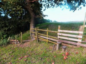
James Yates’ Well
James Yates’ Well is a scenic spot at the top of Lead Mines Clough, where Limestone Brook splits upstream of a wooden bridge and the last of the “proper” waterfalls. “It’s easy to get to from several routes – either from the designated footpaths from Jepson’s Gate, or an Open Access…”